Showing posts with label extreme cold 2015. Show all posts

Wednesday, March 4, 2015

Sea Ice in Long Island Sound During the Coldest Month on Record!

Now that it's March, we can officially declare the month of February 2015 as the coldest month on record in Bridgeport, Connecticut with an average temperature of 19.9 degrees (F)!  Records go back to 1948. 

Climatologically, January is the coldest month of the year. So it is impressive to have the coldest month on record now be in February! 

The NWS reports the highest temperature recorded at Bridgeport in the month of February 2015 was 37 degrees and the lowest was -2 degrees. The month saw 21.5 inches of snow fall with an average snow depth of 11 inches throughout the month (that's a far cry from what Boston saw!) 

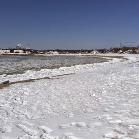
I've shared some of the pictures of a frozen Long Island Sound in this post and this post but here are some more photos I haven't shared yet! 

Below is a picture of the American flag at Anchor Beach in Milford, CT. Notice all the sea ice and slush floating in front and around the rock that sticks out into the water. 


Since the cold was so prolonged, every tide cycle added more ice to the rocks along the shore. 


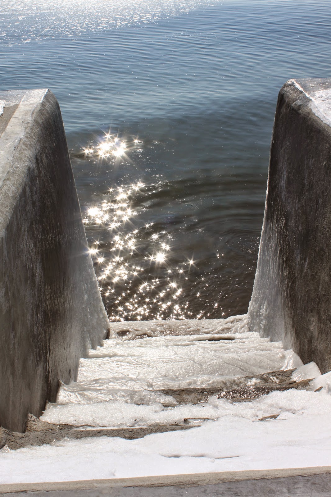
Frozen steps to the beach! The bottom few steps of this staircase that have weathered both Irene and Sandy have accumulated ice during high tides during the month. 


Another stair case to the beach frozen from high water at high tide. Pretty impressive that not even the sun could melt this ice! 


These rocks along the beach have been incased in sea ice, formed at different levels depending on the height of the tide. The combination of ice, tide and rocks made for some very cool patterns. 


Friday, February 20, 2015

Long Island Sound Freezing Up! Connecticut Frozen Shore!

I'm in complete geek out mode this morning as temperatures once again drop down to zero degrees. February has the potential to be the coldest February on record for many in the Northeast and it certainly is showing! The official temperature of Long Island Sound is 32 degrees and harbors are even colder. In fact it is so cold, ice has begun to form in the salty waters of Long Island Sound! 

I braved the extreme cold this morning to take some photographs of the frozen shoreline. Below are the photos I took with my phone, I have even more on my DSLR camera. 

The first photo is of Anchor Beach in Milford, CT. Notice the accumulated ice on all the rocks and all the ice in the water! Some ice even looked like pancake ice! 


Here's one of those rocks covered in thick ice. Remember this is frozen salt water!! 


Milford Harbor is completely frozen over! But it sure looks pretty! 


Another view of the frozen harbor, the ice to the left is buckled due to flowing water from a small river that feeds into the harbor. 


The river that flows through downtown Milford and into the Harbor. 


Milford's famous Charles Island looks pretty cold from the shore of Gulf Beach! Look at all that ice around the shore! 


A beach day at Gulf Beach? Maybe not, those are large chunks of ice floating in slushy salt water along the beach! 


Finally, a satellite view of Long Island Sound this morning, February 20, 2015. If you look closely at the northern edge of Long Island Sound, you will see a thin line of white, that's all the ice on Long Island sound and some of it was captured on my camera this morning! 


Thursday, February 19, 2015

Impressive Winter Scenes From Space! MODIS Satellite Images

The fun thing about getting pictures from space is getting to see the impacts of weather on a large scale. These high resolution images below were taken by the MODIS Satellite and it captures some pretty cool and cold phenomena happening in the northeast United States! 


This first image is of southern New England, specifically Long Island, Connecticut, Massachusetts, Cape Cod and of course Long Island Sound. It's been labeled with a few different cool features. This includes ice on Long Island Sound, an iced over Connecticut river, the scar from the Springfield, MA tornado and more ice in Buzzard's Bay on the South end of Cape Cod. 

And in case you didn't realize, the ground is covered in white due to snow cover! All of New England has had snow on the ground for weeks now! 


The next image is of Lake Ontario, with Canada to the north (top of the image) and upstate New York to the south (bottom of the image). When this image was taken on February 16, 2015 the lake was only partially frozen, which means it's still open to lake effect snows!


Here's another close up view of the Cape Cod area, which is covered in snow! Also check out the ice in the bays! Pretty impressive! 


The image below is of the Finger Lakes area of upstate New York. Notice, only two of the lakes are left unfrozen. Those lakes are  Cayuga Lake and Seneca Lake, which are the two deepest lakes in the United States. Since they are a lot deeper than the other lakes, relatively warmer water is able to mix to the surface, keeping the surface from forming ice.